File:0680jfRiver banks Calero Malolos San Jose Paombong Bulacanfvf 37.jpg
From WikiMD's WELLNESSPEDIA
Size of this preview: 800 × 600 pixels. Other resolutions: 2,560 × 1,920 pixels | 4,608 × 3,456 pixels.
Original file (4,608 × 3,456 pixels, file size: 6.6 MB, MIME type: image/jpeg)
Summary[edit]
| Summary | |
|---|---|
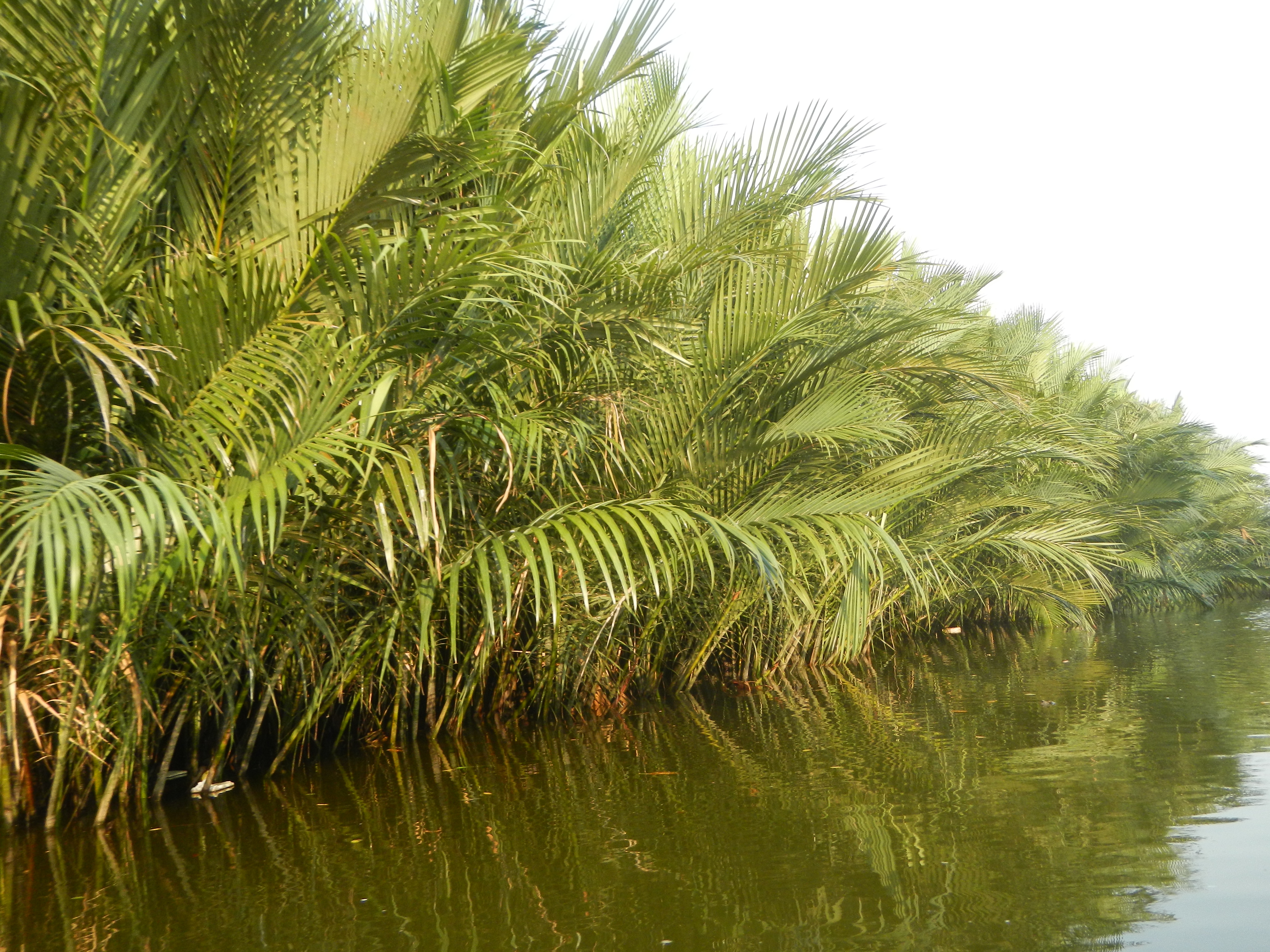
| Description | Malolos & Paombong River Districts (Nipa trees, mangroves and fishponds in Waang Krus, Calero, Malolos & Baluarte-Gunaw, San Jose, Paombong River banks) Malolos River Districts (Nipa trees, mangroves and fishponds in Waang Krus, Calero, Malolos River banks) Mangroves and Nypa fruticans Nypa fruticans Wurmb. Nypa fruticans Wurmb., Arecaceae Flora of the Philippines, bears globular flower cluster on a nipa palm, "Sasa" used in Nipa hut and Vinegar in Capture of Malolos Malolos River Latitude 14.8271 Longitude 120.83 in Barangays Panasahan 14°48'27"N 120°49'4"E Calero 14°49'27"N 120°48'35"E Malolos City, Bulacan in front and beside Barangay San Jose 14°49'52"N 120°47'32"E Sitio Gunaw-Baluarte 14°49'4"N 120°48'27"E, Paombong, Bulacan (along the Malolos City, Bulacan, Malolos City-Paombong-Hagonoy National Road connecting to and from MacArthur Highway or Manila North Road) MacArthur Highway (Malolos City section) (Note: Judge Florentino Floro, the owner, to repeat, Donor Florentino Floro of all these photos hereby donate gratuitously, freely and unconditionally all these photos to and for Wikimedia Commons, exclusively, for public use of the public domain, and again without any condition whatsoever). |
| Source | Wikimedia Commons file page |
| Author | Judgefloro |
| Permission | See original Commons license details. |
Licensing[edit]
License: CC0
License page: CC0
Original attribution and file history: Wikimedia Commons
File history
Click on a date/time to view the file as it appeared at that time.
| Date/Time | Thumbnail | Dimensions | User | Comment | |
|---|---|---|---|---|---|
| current | 02:13, 7 June 2026 | | 4,608 × 3,456 (6.6 MB) | Maintenance script (talk | contribs) | == Summary == Importing file |
You cannot overwrite this file.
File usage
The following file is a duplicate of this file (more details):
- File:0680jfRiver banks Calero Malolos San Jose Paombong Bulacanfvf 37.jpg from Wikimedia Commons
The following page uses this file:
