File:AMH-5638-KB Map of East India.jpg
From WikiMD's WELLNESSPEDIA

Size of this preview: 721 × 600 pixels. Other resolution: 2,400 × 1,996 pixels.
Original file (2,400 × 1,996 pixels, file size: 810 KB, MIME type: image/jpeg)
Summary[edit]
| Summary | |
|---|---|
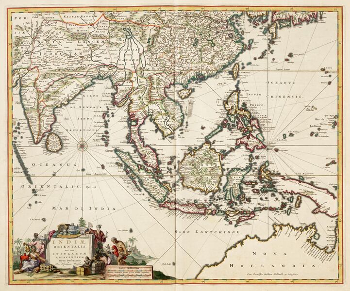
| Description | Map of East India, taken from the Atlas van der Hagen, Koninklijke Bibliotheek, The Hague Part 4. This map of South East Asia was published by Nicolaas Visscher II (1649-1702). The map shows the entire trading region of the Dutch East India Company (VOC). |
| Source | Wikimedia Commons file page |
| Author | Nicolaas Visscher II (publisher) |
| Permission | See original Commons license details. |
Licensing[edit]
Public Domain
This file is in the public domain and may be used without restriction.
Please see the linked source page for the original file history, attribution information, and licensing details.
Original attribution and file history: Wikimedia Commons
File history
Click on a date/time to view the file as it appeared at that time.
| Date/Time | Thumbnail | Dimensions | User | Comment | |
|---|---|---|---|---|---|
| current | 02:12, 7 June 2026 | | 2,400 × 1,996 (810 KB) | Maintenance script (talk | contribs) | == Summary == Importing file |
You cannot overwrite this file.
File usage
The following page uses this file:
