File:Aguas territoriales CARICOM.svg
From WikiMD's medical encyclopedia

Size of this PNG preview of this SVG file: 800 × 400 pixels. Other resolutions: 320 × 160 pixels | 640 × 320 pixels | 1,024 × 512 pixels | 1,280 × 640 pixels | 2,560 × 1,280 pixels.
Original file (SVG file, nominally 800 × 400 pixels, file size: 696 KB)
Summary
| Description |
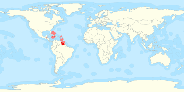
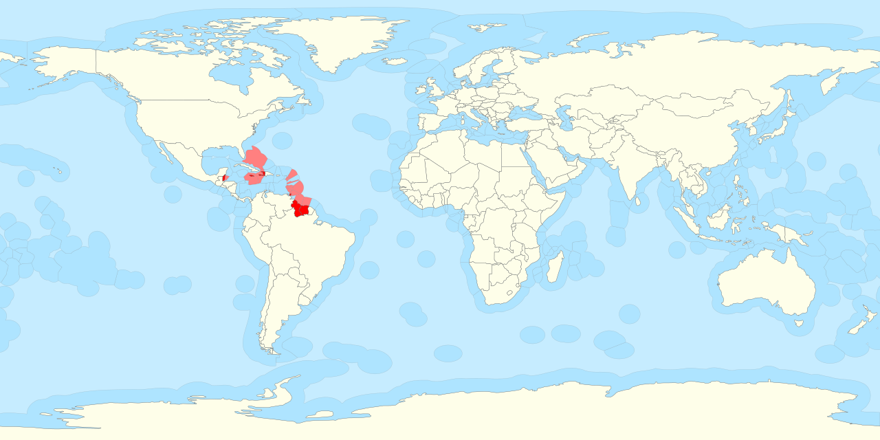
Español: Mapa donde aparecen destacados los países miembros del CARICOM. En el mapa se incluyen sus aguas territoriales. |
|
| Date | ||
| Source | Territorial waters - Chile.svg | |
| Author | Original: B1mbo. Obra derivada: Dodecaedro. | |
| SVG development |
|
Licensing
This file is licensed under the Creative Commons Attribution-Share Alike 3.0 Unported license.
- You are free:
- to share – to copy, distribute and transmit the work
- to remix – to adapt the work
- Under the following conditions:
- attribution – You must give appropriate credit, provide a link to the license, and indicate if changes were made. You may do so in any reasonable manner, but not in any way that suggests the licensor endorses you or your use.
- share alike – If you remix, transform, or build upon the material, you must distribute your contributions under the same or compatible license as the original.
File history
Click on a date/time to view the file as it appeared at that time.
| Date/Time | Thumbnail | Dimensions | User | Comment | |
|---|---|---|---|---|---|
| current | 13:41, 25 August 2025 | | 800 × 400 (696 KB) | Serraria | Reverted to version as of 11:00, 27 January 2016 (UTC): the "Peanut Hole" was never added to Russia's EEZ, only to its continental shelf, which is a distinct legal status (UNCLOS art. 78). "The exclusive economic zone shall not extend beyond 200 nautical miles from the baselines from which the breadth of the territorial sea is measured" (art. 57). |
File usage
The following page uses this file: