File:Map Krasnoyarsk Krai.png
From WikiMD's medical encyclopedia

Size of this preview: 557 × 600 pixels. Other resolutions: 223 × 240 pixels | 446 × 480 pixels | 713 × 768 pixels | 951 × 1,024 pixels | 1,670 × 1,798 pixels.
Original file (1,670 × 1,798 pixels, file size: 395 KB, MIME type: image/png)
Summary
| Description |
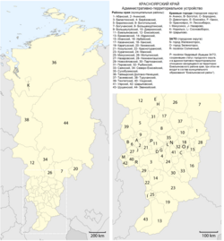
Русский: административно-территориальное устройство Красноярского края |
| Date | |
| Source | Own work, using File:Map of the Krasnoyarsk Krai (upright).png by Maximilian Dörrbecker (Chumwa) |
| Author | RosssW |
.png)
Licensing
This file is licensed under the Creative Commons Attribution-Share Alike 2.5 Generic license.
- You are free:
- to share – to copy, distribute and transmit the work
- to remix – to adapt the work
- Under the following conditions:
- attribution – You must give appropriate credit, provide a link to the license, and indicate if changes were made. You may do so in any reasonable manner, but not in any way that suggests the licensor endorses you or your use.
- share alike – If you remix, transform, or build upon the material, you must distribute your contributions under the same or compatible license as the original.
File history
Click on a date/time to view the file as it appeared at that time.
| Date/Time | Thumbnail | Dimensions | User | Comment | |
|---|---|---|---|---|---|
| current | 12:26, 24 August 2017 | | 1,670 × 1,798 (395 KB) | RosssW | Уточнение границ Таймырского Долгано-Ненецкого района и Норильска |
File usage
The following page uses this file: