File:Pakistan (no claimed territories).svg
From WikiMD's WELLNESSPEDIA

Size of this PNG preview of this SVG file: 541 × 541 pixels. Other resolutions: 240 × 240 pixels | 480 × 480 pixels | 768 × 768 pixels | 1,024 × 1,024 pixels | 2,048 × 2,048 pixels.
Original file (SVG file, nominally 541 × 541 pixels, file size: 282 KB)
Summary
| Description |
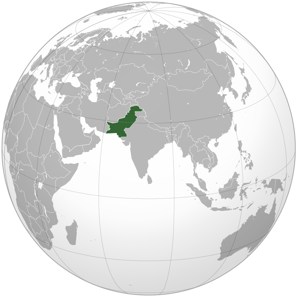
English: Location of Pakistan. Only areas controlled by the government of Pakistan are shown. |
||
| Source |
Own work |
||
| Author | Goran tek-en, following request by Gotitbro | ||
| Permission (Reusing this file) |
This file is licensed under the Creative Commons Attribution-Share Alike 4.0 International license. Attribution: Goran tek-en
|
||
| Other versions |
|
||
| SVG development |
.svg)
File history
Click on a date/time to view the file as it appeared at that time.
| Date/Time | Thumbnail | Dimensions | User | Comment | |
|---|---|---|---|---|---|
| current | 23:34, 10 July 2020 | | 541 × 541 (282 KB) | wikimediacommons>Fry1989 | South Sudan |
File usage
The following page uses this file:

.svg)
.svg)