File:USA Flag Map.svg
From WikiMD's medical encyclopedia

Size of this PNG preview of this SVG file: 800 × 467 pixels. Other resolutions: 320 × 187 pixels | 640 × 373 pixels | 1,024 × 598 pixels | 1,280 × 747 pixels | 2,560 × 1,494 pixels | 1,083 × 632 pixels.
Original file (SVG file, nominally 1,083 × 632 pixels, file size: 278 KB)
| Description |
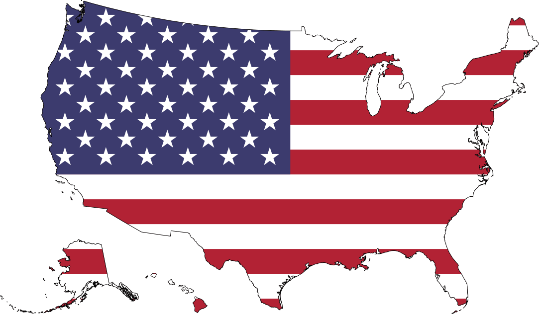
English: Map showing Mainland USA ("lower 48") with a superimposed US flag.
Español: Mapa de los Estados Unidos continentales con una bandera estadounidense superpuesta.
Русский: Флаг-карта США (только континентальные штаты). |
| Date | |
| Source |
|
| Author | Lokal_Profil |
| Permission (Reusing this file) |
This file is licensed under the Creative Commons Attribution-Share Alike 2.5 Generic license. Attribution: Lokal_Profil
|
| Other versions |
|


File history
Click on a date/time to view the file as it appeared at that time.
| Date/Time | Thumbnail | Dimensions | User | Comment | |
|---|---|---|---|---|---|
| current | 17:09, 15 March 2025 | | 1,083 × 632 (278 KB) | HoosierMan1816 | Colors. |
File usage
More than 100 pages use this file. The following list shows the first 100 pages that use this file only. A full list is available.
- Administrative divisions of American Samoa
- Appalachia
- Atlanta
- Babbitt
- Bayswater, Queens
- Birchrunville, Pennsylvania
- Boothwyn, Pennsylvania
- Borough (Pennsylvania)
- Cape Cod
- Capitol Hill
- Census-designated place
- Center City, Philadelphia
- Chicago metropolitan area
- Clarksville
- Clermont, Kentucky
- Combined statistical area
- Concordville, Pennsylvania
- Constitution Gardens
- Contiguous United States
- Corn Belt
- County seat
- Covington
- Danish language
- Demographics of Chicago
- Demographics of New York City
- Differential interference contrast microscopy
- Douglaston–Little Neck, Queens
- Drôme
- Eagle, Pennsylvania
- Eagle River
- Edison, New Jersey
- Eric F. Wieschaus
- Etoile
- Faggs Manor, Pennsylvania
- Fairfax
- Geography of Chicago
- Geography of New York City
- Grand Staircase–Escalante National Monument
- Greater St. Louis
- Gulf Coast of the United States
- Halfway House, Pennsylvania
- Havertown, Pennsylvania
- High Plains (United States)
- Hollis, Queens
- Hollywood, Montgomery County, Pennsylvania
- Howland Island
- Huntington–Ashland metropolitan area
- Inland Northwest
- Insular area
- Iowa
- Jim Thorpe, Pennsylvania
- Johnston Atoll
- Kemblesville, Pennsylvania
- Klamath Mountains
- Knauertown, Pennsylvania
- Lexington, Massachusetts
- Liberty Island
- List of Queens neighborhoods
- List of cities and counties in Virginia
- Llanerch, Pennsylvania
- Lower Peninsula of Michigan
- Lumberville, Pennsylvania
- Maui
- Metro Detroit
- Micropolitan statistical area
- Mid-Atlantic (United States)
- Mortonville, Pennsylvania
- Mount Rainier
- Mountain states
- National Mall
- Neighborhoods in New York City
- Nevada
- New York City ethnic enclaves
- North Dakota
- Northeastern United States
- Northern California
- Northern United States
- Ozarks
- Powder River Country
- Rust Belt
- Sadsburyville, Pennsylvania
- Schuylkill Township, Chester County, Pennsylvania
- Secane, Pennsylvania
- South Carolina
- South Pottstown, Pennsylvania
- Spokane metropolitan area
- St. Albans, Queens
- Territories of the United States
- The Bronx
- The Hole, New York City
- Toughkenamon, Pennsylvania
- Township (Pennsylvania)
- Voorhees
- Washington (state)
- Washington metropolitan area
- Wawa, Pennsylvania
- West Coast of the United States
- Western Maryland
- Western New York
- Wildfires in the United States
View more links to this file.